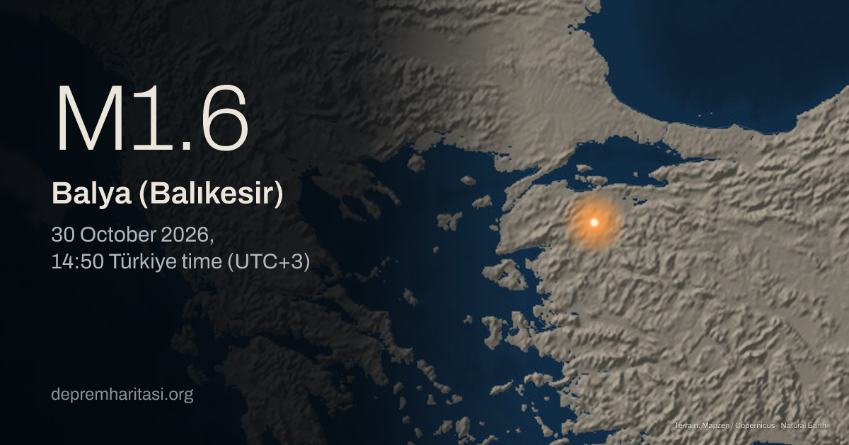
M1.6Balya (Balıkesir)
2026-10-30 11:50:49 UTC
Depth 10.2 km. Magnitude type ML. Source: Kandilli Observatory. Preliminary.
Agency solutions
| Agency | Türkiye time | Magnitude | Depth | Status |
|---|---|---|---|---|
| Kandilli Observatory20261030145049 | M1.6 ML | 10.2 km | Preliminary |
Nearest places
- Balıkesir 27 km
- Gönen 27 km
- Susurluk 31 km
Epicentre
39.8853, 27.8017
Nearby mapped faults
- Unnamed fault trace · GEM 173824.6 km
- Unnamed fault trace · GEM 173724.9 km
- Unnamed fault trace · GEM 189629.1 km
- Unnamed fault trace · GEM 173929.4 km
- Unnamed fault trace · GEM 189534.6 km
Approximate epicentre-to-trace distance. Proximity does not establish that this earthquake occurred on that fault. The GEM catalogue does not contain every fault.
GEM Global Active Faults · CC BY-SA 4.0This area over the last 50 years
Explore this area in history →Share
Show the share card