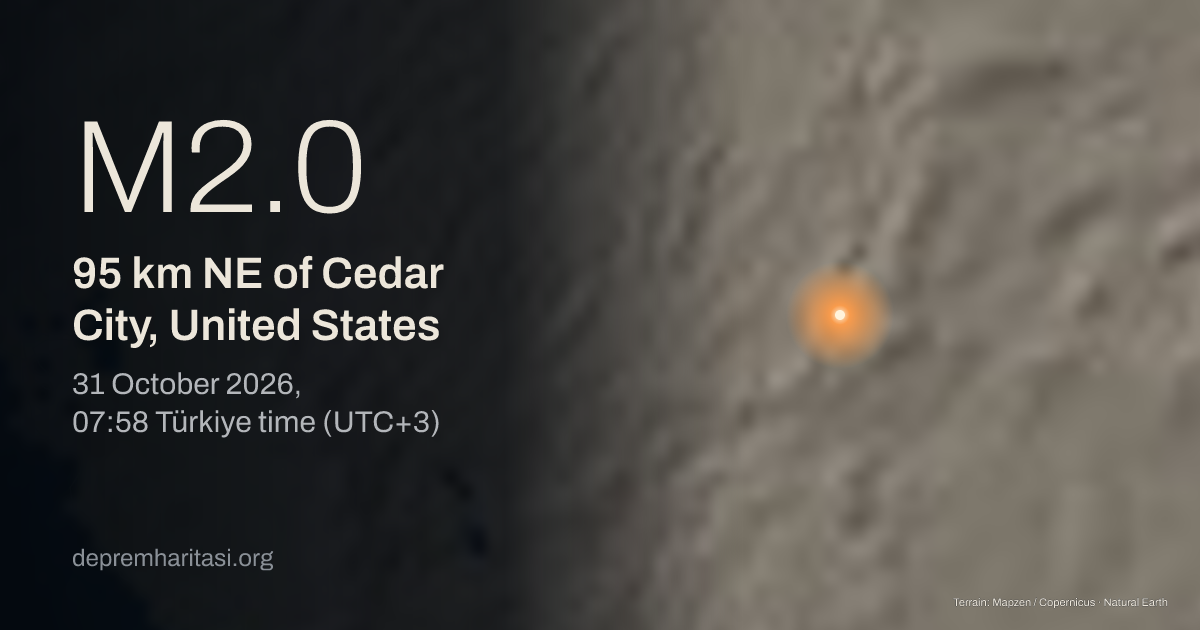
M2.095 km NE of Cedar City, United States
2026-10-31 04:58:56 UTC
Depth 2.2 km. Magnitude type ML. Source: EMSC. Preliminary.
Agency solutions
| Agency | Türkiye time | Magnitude | Depth | Status |
|---|---|---|---|---|
| EMSC20261031_0000336 | M2.0 ML | 2.2 km | Preliminary |
Nearest places
- Cedar City 95 km
- Hurricane 151 km
- Washington 167 km
Epicentre
38.2870, -112.2945
Nearby mapped faults
- Sevier/Toroweap fault zone (northern)45.8 km
- Paragonah fault49.5 km
- Hurricane fault zone (northern)96.4 km
Approximate epicentre-to-trace distance. Proximity does not establish that this earthquake occurred on that fault. The GEM catalogue does not contain every fault.
GEM Global Active Faults · CC BY-SA 4.0This area over the last 50 years
Explore this area in history →Share
Show the share card