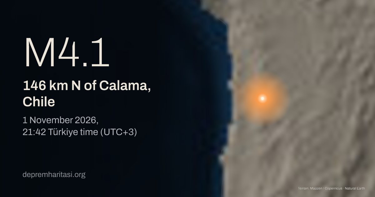
M4.1146 km N of Calama, Chile
2026-11-01 18:42:03 UTC
Depth 117.2 km. Magnitude type mb. Source: USGS. Reviewed.
Agency solutions
| Agency | Türkiye time | Magnitude | Depth | Status |
|---|---|---|---|---|
| USGSus7000tuqw | M4.1 mb | 117.2 km | Reviewed | |
| EMSC20261101_0000225 | M3.8 ML | 116.1 km | Preliminary |
Nearest places
- Pozo Almonte 133 km
- Calama 146 km
- Alto Hospicio 156 km
Epicentre
-21.1449, -68.9287
Nearby mapped faults
- Chuculay 376.9 km
- Chuculay 290.1 km
- Chuculay 692.5 km
- Chuculay 593.9 km
- Chuculay 194.9 km
Approximate epicentre-to-trace distance. Proximity does not establish that this earthquake occurred on that fault. The GEM catalogue does not contain every fault.
GEM Global Active Faults · CC BY-SA 4.0This area over the last 50 years
Explore this area in history →Aftershocks
Later earthquakes recorded nearby; a common rupture has not been established.
6 aftershocks recorded so far.
- M4.1151 km N of Calama, Chile
- M2.5151 km N of Calama, Chile
- M2.5148 km N of Calama, Chile
- M2.787 km SE of Pozo Almonte, Chile
- M2.8141 km N of Calama, Chile
- M3.2114 km SE of Pozo Almonte, Chile
Share
Show the share card