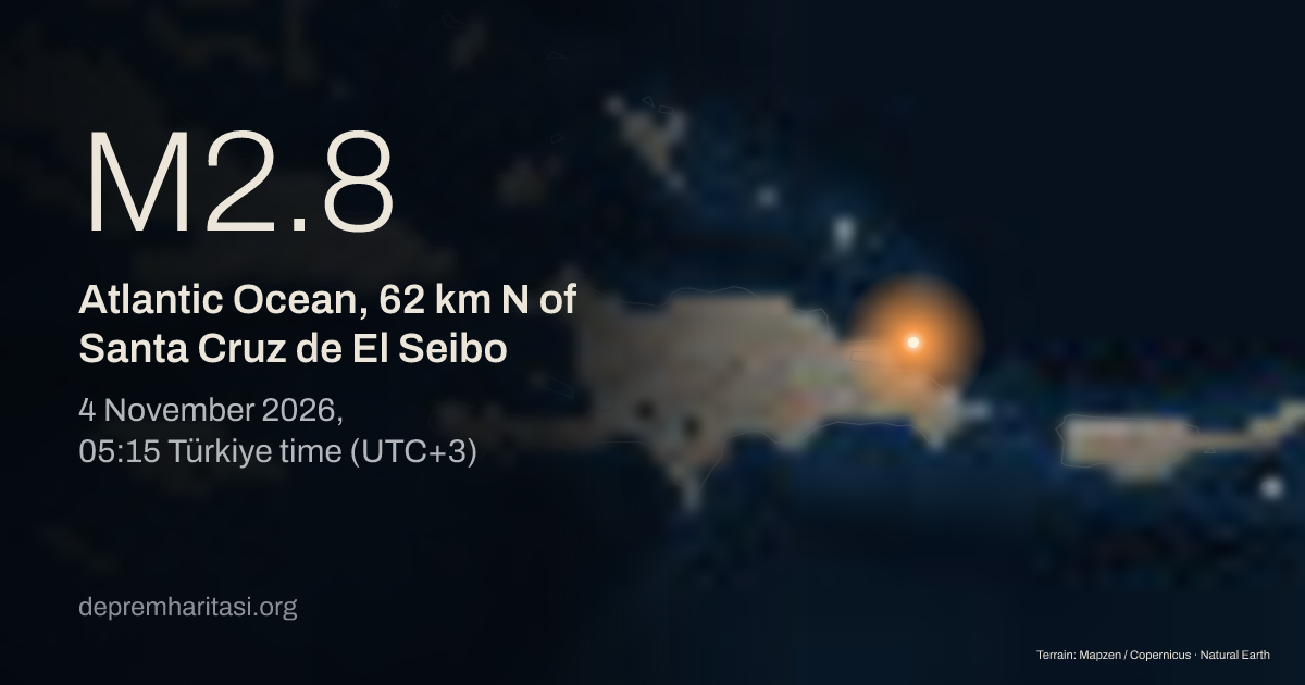
M2.8Atlantic Ocean, 62 km N of Santa Cruz de El Seibo
2026-11-04 02:15:17 UTC
Depth 10 km. Magnitude type ML. Source: USGS. Reviewed.
Agency solutions
| Agency | Türkiye time | Magnitude | Depth | Status |
|---|---|---|---|---|
| USGSus7000tvv8 | M2.8 ML | 10 km | Reviewed |
Nearest places
- Santa Cruz de El Seibo 62 km
- Hato Mayor del Rey 71 km
- Salvaleón de Higüey 80 km
Epicentre
19.3075, -68.8994
Nearby mapped faults
- Unnamed fault trace · GEM 135623.9 km
- Septentrional Fault19.6 km
- Unnamed fault trace · GEM 1356427.5 km
- North Caribbean Megathrust (North Hispaniola Fault)31.5 km
- Septentrional Mountain Front Fault39.5 km
Approximate epicentre-to-trace distance. Proximity does not establish that this earthquake occurred on that fault. The GEM catalogue does not contain every fault.
GEM Global Active Faults · CC BY-SA 4.0This area over the last 50 years
Explore this area in history →Share
Show the share card