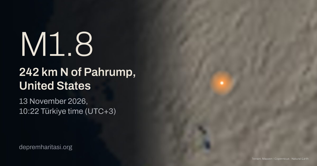
M1.8242 km N of Pahrump, United States
2026-11-13 07:22:37 UTC
Depth 5.2 km. Magnitude type ML. Source: EMSC. Preliminary.
Agency solutions
| Agency | Türkiye time | Magnitude | Depth | Status |
|---|---|---|---|---|
| EMSC20261113_0000071 | M1.8 ML | 5.2 km | Preliminary |
Nearest places
- Pahrump 242 km
- Mesquite 254 km
- North Las Vegas 259 km
Epicentre
38.3804, -116.1508
Nearby mapped faults
- Kawich-Hot Creek Ranges fault zone17.5 km
- Little Fish Lake Valley fault37.2 km
- Railroad Valley fault zone38.1 km
- Eastern Monitor Range fault zone44.9 km
- Penoyer fault66.3 km
Approximate epicentre-to-trace distance. Proximity does not establish that this earthquake occurred on that fault. The GEM catalogue does not contain every fault.
GEM Global Active Faults · CC BY-SA 4.0This area over the last 50 years
Explore this area in history →Share
Show the share card