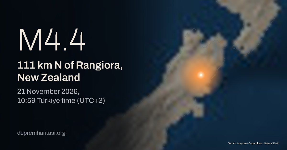
M4.4111 km N of Rangiora, New Zealand
2026-11-21 07:59:14 UTC
Depth 4.1 km. Magnitude type ML. Source: EMSC. Preliminary.
Agency solutions
| Agency | Türkiye time | Magnitude | Depth | Status |
|---|---|---|---|---|
| EMSC20261121_0000112 | M4.4 ML | 4.1 km | Preliminary |
Nearest places
- Rangiora 111 km
- Richmond 114 km
- Stoke 117 km
Epicentre
-42.3551, 173.0134
Nearby mapped faults
- Clarence Southwest4 km
- Clarence Central5.5 km
- Clarence Northeast9.4 km
- Fowlers13.7 km
- Barefell14.7 km
Approximate epicentre-to-trace distance. Proximity does not establish that this earthquake occurred on that fault. The GEM catalogue does not contain every fault.
GEM Global Active Faults · CC BY-SA 4.0This area over the last 50 years
Explore this area in history →Aftershocks
Later earthquakes recorded nearby; a common rupture has not been established.
No aftershocks recorded yet.
Share
Show the share card